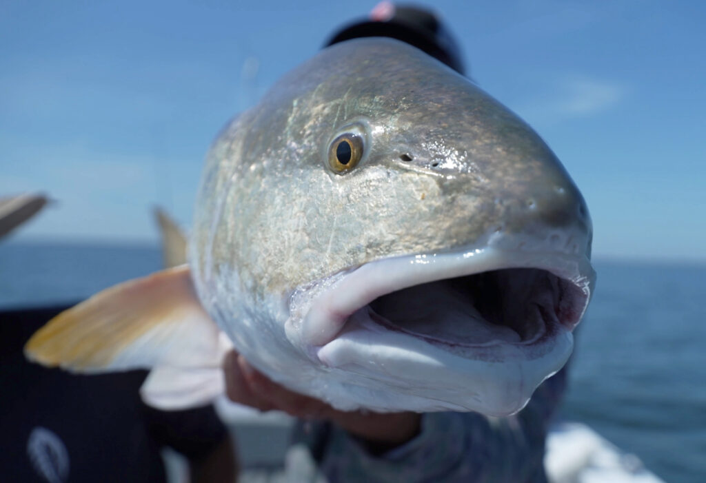
The Foundation purchased the first batch of satellite tags in late 2024. North Carolina Division of Marine Fisheries staff then tagged 10 adult Red Drum in western Pamlico Sound in October. This pilot work provided key findings regarding how to properly affix the satellite tags to the fish and how often the Argos satellite network would detect the tags and deliver coordinate data (7-8 times per day).
Although the initial satellite tags were programmed to stay active for just over 30 days, the movement patterns were fascinating. Considered what was learned in 2024, here are the plans for our 2025 partnership with the North Carolina Division of Marine Fisheries:
- Map the movement patterns from the Red Drum tagged during October 2024.
- Tag 20 Red Drum with the assistance of recreational fishing guides behinning in June. Tagging locations will focus on inshore locations across the entire coast from Dare County to Brunswick County, and Foundation staff will coordinate this effort.
- Tag 20 Red Drum as part of the NC Division of Marine Fisheries annual longline surveys in August and September. Tagging efforts will be concentrated near the mouths of the Tar-Pamlico and Neuse rivers.
- Develop a web platform to be hosted on our Foundation’s website for the public to interact with the tracking results in near real-time.
Subscribe to our newsletter to receive updates on our progress and the release of our interactive Red Drum tracker.